Windorah - Heart of the Channel Country
A fascinating town in Outback Queensland
Windorah is a little town in the Barcoo Shire in the south-east
of Queensland. In Aboriginal language "Windorah" means "big fish". Indeed,
the rivers & channels in this area are great fishing spots.
The town was named and surveyed in 1880, although the Western Star Hotel and a shop had already existed for two years.
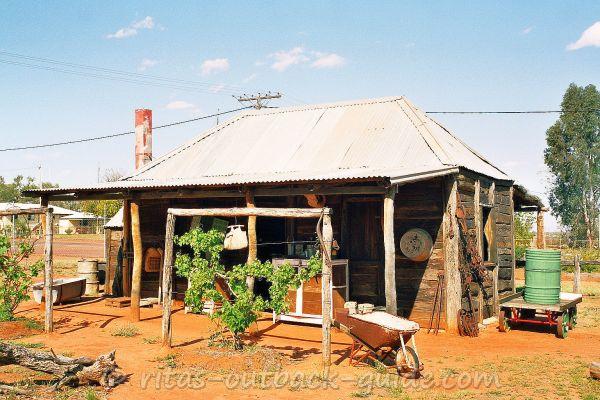
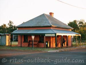
This interesting museum is on the grounds of the visitor information centre. A great place to stop and explore and get local information.
Windorah is located on the banks of Cooper Creek, which is well-known for its
numerous channels and gullies that give name to the entire area: Channel
Country.
Although the little township has some interesting historic buildings,
the diverse landscapes, wildlife and stunning nature are highlights as well,
and give you some true Outback feeling.
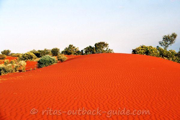
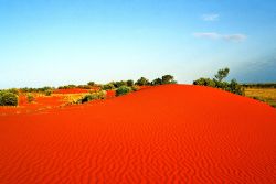
Don't miss the stunning sand dunes on the western edge of the town.
Quick Facts
Population: 115 (2016 census)
Location: Approx. 1,196 km north west of Brisbane
State: Queensland
Post Code: 4481
Elevation: 126m
Time Zone: Australian Eastern Standard Time (AEST)
Best time to visit:
Summers are hot, and in winter it can get frosty here. Rain is not
predictable, some years are dry (with dust storms) while in wet years
major flooding occurs
Facilities:
Windorah offers accommodation, a shop & fuel.
Click here to check all facilities
The Barcoo and Thomson rivers join 35 km north west of Windorah to form
Cooper Creek. In time of flooding you can get stuck in this area for
days, as the Cooper spreads for several kilometres.
Every couple of years the flood waters of Cooper Creek reach Lake Eyre
in South Australia, however, this is said to be a rare occasion.
The Cooper is definitely an Australian icon that found its way into song lyrics and the poetry of Banjo Paterson.
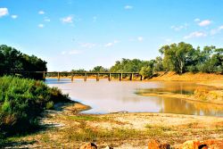
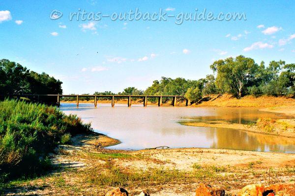 The bridge over Cooper Creek near Windorah
Points of Interest in Windorah
Windorah is surrounded by scenic and diverse countryside. To the north is typical red earth and dune country, while to the south the channels of Cooper Creek expand to the South Australian border.
- The red sand hills just ten minutes to the
west of town are beautiful, especially in the late afternoon. The
colours of the dunes change during the day to a deep red at sunset.
Take your time, watch the sun go down, feel the sound of silence, it is a true Outback experience. - Take the 12 km long nature drive just outside of the town that leads you to Cooper Creek.
Stop for a walk, it is worthwhile. The nature trail explains the trees and plants that are native to the region. Don't forget to pick up a brochure at the visitor information centre before you go.
If you're lucky, you'll see some unique wildlife. After good rains wildflowers are abundant. It never ceases to amaze me how much nature changes after some rain in the dry Australian inland. - Visit the information centre and Whitula museum.
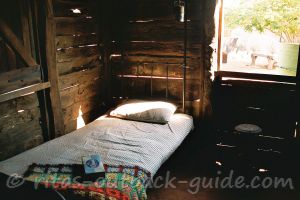
The friendly staff invites you to explore the old slab hut and the
Cooper Queen, a steel boat that brought supplies to town before the
bridge over Cooper Creek was built.
The hut was relocated from Whitula Creek, east of Windorah, where it had served as a boundary rider's hut.
The museum is equipped with station and household items, representing a 1800s homestead. - The library has local arts and crafts on display.
- Try your luck and catch a yellow belly or other fish for dinner in the Cooper.
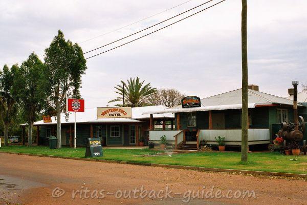 Western Star Hotel
How to get to Windorah
Coming from the north and the east, all roads into Windorah are sealed,
at least a single lane of bitumen. It's a 1200 km drive from Brisbane. I
told you the Outback is a huge place!
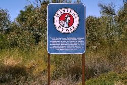
From Longreach on the Matilda Way it is a leisure drive of 336 km
through scenic country along the Thomson Developmental Road.
You'll pass Stonehenge and Jundah, two little
townships worth to have a stop at.
Don't miss Swanvale lookout between those towns. There's a rest area, and the views over the surrounding area are gorgeous.
Jundah is the administrative centre of the Barcoo shire, and the
largest of the three towns (population ~ 350) in the shire. The Thomson
River is a good spot to catch a fish and relax.
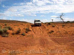
Coming from the west, both the Diamantina Developmental Rd from Bedourie, and the Birdsville Developmental Rd from Birdsville, are still mostly gravel roads.
Being a fan of the red dirt roads, it saddens me to learn that
the final stretch of road from Jundah into Windorah is sealed now.
Sure, I understand that the locals prefer to have a reliable road that
doesn't turn into deep mud after rain. But from a traveller's point of
view, driving on a dirt road is part of the Outback experience.
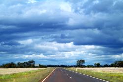
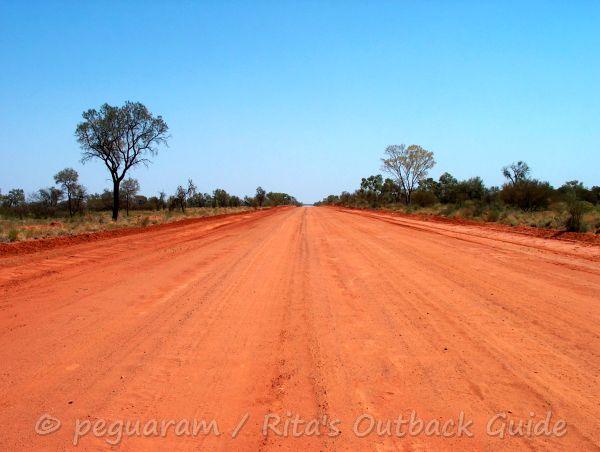 Thomson Developmental Road
The above image was taken many years ago. The entire Thomson Developmental Road from Windorah to Longreach is a single-lane bitumen road now.
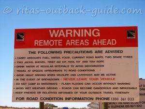
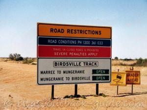
It is important to check the weather reports and road conditions before you travel in the south-west of Outback Queensland. Below are some links to download local road reports (PDF) from council websites.
Barcoo Shire for Windorah, Jundah and Stonehenge.
Quilpie Shire for Quilpie, Eromanga, Adavale and Toompine.
Diamantina Shire for Birdsville, Betoota and Bedourie.
Don't miss these places in the Far West &
Channel Country of Queensland
Below you'll find more useful articles to help you plan your journey.
- Home ›
- Channel Country ›
- Windorah
